File:Plan Bordeaux.png
Jump to navigation
Jump to search

Size of this preview: 480 × 600 pixels. Other resolutions: 192 × 240 pixels | 384 × 480 pixels | 614 × 768 pixels | 819 × 1,024 pixels | 2,085 × 2,606 pixels.
Original file (2,085 × 2,606 pixels, file size: 1.39 MB, MIME type: image/png)
Captions
Captions
Add a one-line explanation of what this file represents
Summary[edit]
| Description |
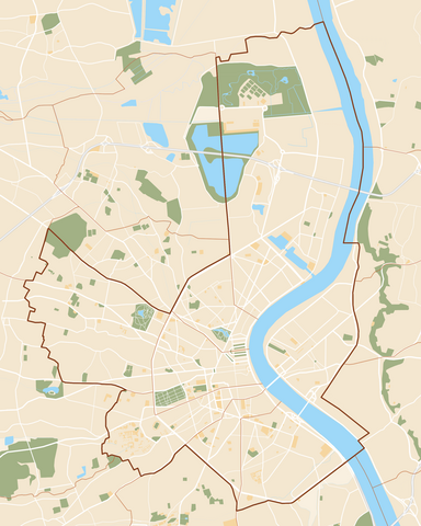
English: Map of Bordeaux.
Français : Plan de la ville de Bordeaux. |
| Date | |
| Source | Own work |
| Author | Dark Attsios |
Licensing[edit]
I, the copyright holder of this work, hereby publish it under the following license:
This file is licensed under the Creative Commons Attribution 3.0 Unported license.
- You are free:
- to share – to copy, distribute and transmit the work
- to remix – to adapt the work
- Under the following conditions:
- attribution – You must give appropriate credit, provide a link to the license, and indicate if changes were made. You may do so in any reasonable manner, but not in any way that suggests the licensor endorses you or your use.
File history
Click on a date/time to view the file as it appeared at that time.
| Date/Time | Thumbnail | Dimensions | User | Comment | |
|---|---|---|---|---|---|
| current | 15:59, 17 August 2015 | | 2,085 × 2,606 (1.39 MB) | Flappiefh (talk | contribs) | Correction des limites de la ville de Bordeaux. |
| 20:25, 15 March 2011 |  | 2,085 × 2,606 (1.39 MB) | Dark Attsios (talk | contribs) | {{Information |Description ={{en|1=Map of Bordeaux.}} {{fr|1=Plan de la ville de Bordeaux.}} |Source ={{own}} |Author =Dark Attsios |Date =2011-03-15 |Permission = |other_versions = }} [[Cate |
You cannot overwrite this file.
File usage on Commons
The following page uses this file:
File usage on other wikis
The following other wikis use this file:
- Usage on ar.wikipedia.org
- Usage on ceb.wikipedia.org
- Usage on da.wikipedia.org
- Usage on en.wikipedia.org
- Bordeaux-Saint-Jean station
- Hôtel de Ville tram stop
- Palais de Justice tram stop
- Forum tram stop
- Roustaing tram stop
- Barrière Saint-Genès tram stop
- Bergonié tram stop
- Saint-Nicolas tram stop
- Quinconces tram stop
- Grand Théâtre tram stop
- Gambetta tram stop
- Musée d'Aquitaine tram stop
- Victoire tram stop
- Pessac Centre tram stop
- CAPC tram stop
- La Cité du Vin tram stop
- Les Hangars tram stop
- Cours du Médoc tram stop
- Chartrons tram stop
- Porte de Bourgogne tram stop
- Les Aubiers tram stop
- Terres Neuves tram stop
- Carle Vernet tram stop
- Place Ravezies – Le Bouscat tram stop
- Grand Parc tram stop
- Camille Godard tram stop
- Mérignac Centre tram stop
- Claveau tram stop
- Brandenburg tram stop
- Rue Achard tram stop
- New York tram stop
- Buttinière tram stop
- Sainte-Catherine tram stop
- Place du Palais tram stop
- Module:Location map/data/France Bordeaux/doc
- Module:Location map/data/France Bordeaux
- Lormont-Lauriers tram stop
- La Morlette tram stop
- Mériadeck tram stop
- Saint-Augustin tram stop
- La Gardette - Bassens - Carbon Blanc tram stop
- Berges du Lac tram stop
- Parc des Expositions – Stade Matmut-Atlantique tram stop
- Cracovie tram stop
- Berges de la Garonne tram stop
- Usage on eo.wikipedia.org
View more global usage of this file.